
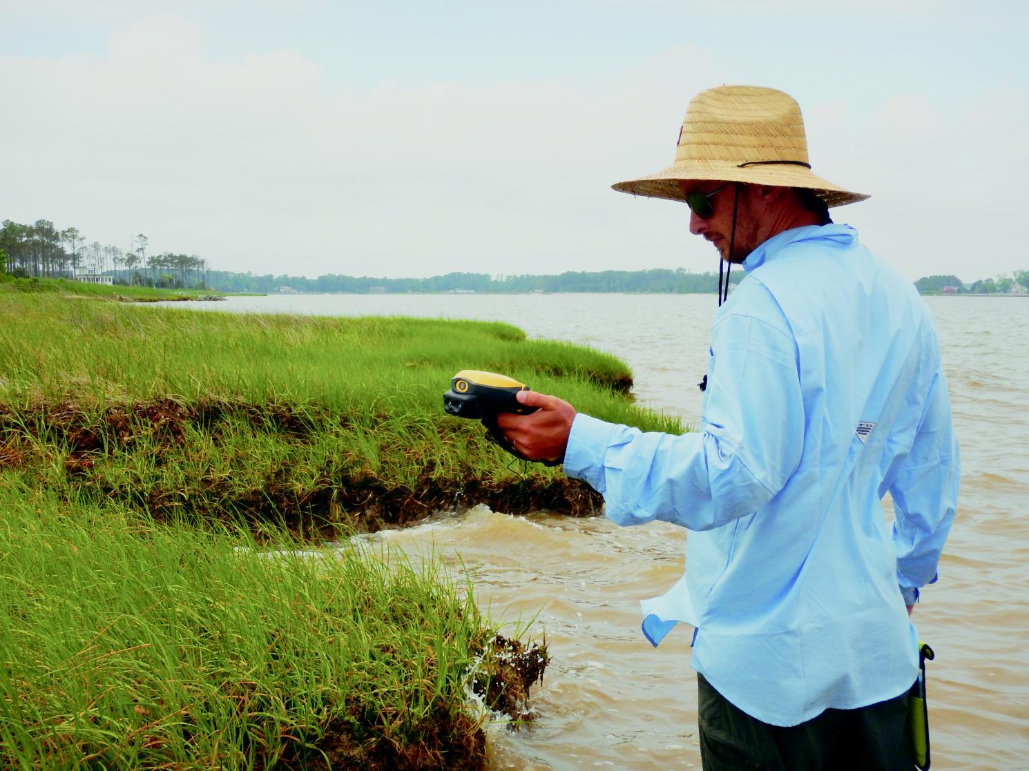
Craig Rose ’00 helped document threatened archaeological sites as part of a project funded by the National Park Service.
Two prehistoric camps—one dating from as early as 16,000 BC—are among more than 150 archaeological sites on the Chesapeake Bay that could soon disappear due to coastal erosion and sea-level rise, according to a study conducted by the Longwood Institute of Archaeology.
The Virginia Department of Historic Resources (DHR) hired Longwood’s institute to calculate the extent of shoreline change and assess the effects of that change on 313 archaeological sites in four counties on the Northern Neck and Middle Peninsula.
Results show that 153 of the sites are threatened, including the Mathews County site that contains artifacts dating back to the Paleo-Indian period (approximately 16,000 BC-8,000 BC). Longwood archaeologists predict the site will be destroyed in 10 years based on the current erosion rate of 4.8 feet per year.
“This is groundbreaking research that is a critical piece in managing cultural resources at the water’s edge,” said Dr. Brian Bates ’92, the institute’s executive director and professor of anthropology at Longwood. “No other project that I know of combines a detailed survey of shoreline erosion with the predictive model that we developed.
“What we are producing will be a very valuable tool for DHR, which needed to know which archaeological sites were most threatened,” added Bates.
The extent of shoreline change from 1937 to 2013 at 313 historic and prehistoric archaeological sites in Northumberland, Lancaster, Mathews and Middlesex counties was documented by Bates; Mary Farrell ’09, the institute’s laboratory supervisor; Craig Rose ’00, the institute’s principal investigator; and other staff. Students assisted with the work, which measured shoreline change not only on the Chesapeake Bay but also on inland waterways in the four counties.
“Of the 153 threatened sites,” Farrell added, 28 are eroding so quickly that we predict they will be gone within 50 years.”
Detailed data compiled by institute archaeologists will become part of the database for DHR, which is the repository of archaeological sites for the commonwealth. The institute submitted a report to DHR this summer that contains information on each site, including its “level of shoreline movement,” how many years until water reaches the site and the site’s projected lifespan.
Longwood archaeologists also developed a “predictive model” for determining locations that might contain previously undocumented archaeological sites. The model will be used in a similar upcoming project funded by DHR in Accomack and Northampton counties on the Eastern Shore.
“I’ve worked in contract archaeology for 15 years, and this is the most interesting project I’ve ever done,” said Rose, who coordinated the predictive modeling. The Longwood shoreline survey, funded by the National Park Service, was among several DHR-administered projects that were prompted by the damage caused by Hurricane Sandy in 2012.
Leave a Comment